Our territorial management, urban digital twin, and environmental monitoring solutions transform cities into intelligent ecosystems where technology and sustainability coexist harmoniously, reducing infrastructure maintenance costs by an average of 32%.
Improving public service responsiveness by 45% and reducing emergency interventions by 28%.
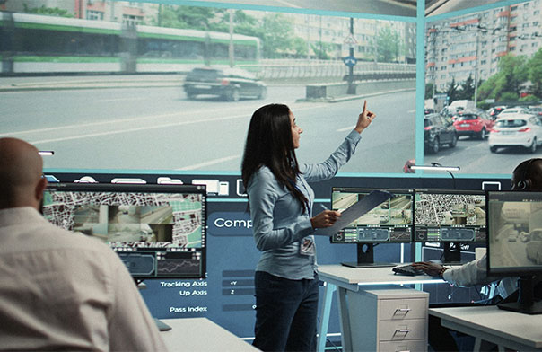
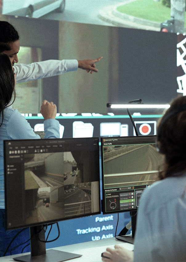
Growing urban complexity making it difficult to visualize and understand territorial dynamics 
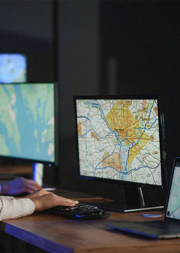
Data scattered across heterogeneous systems preventing global, real-time vision Energy and environmental inefficiencies generating high operational costs Fragmented public services limiting citizen experience and administrative efficiency Static urban planning based on obsolete models facing climate challenges Lack of resilience to crises and extreme events Coordination difficulties between municipal services and territorial stakeholders
Unified territorial vision via interactive urban digital twins Smart environmental management with real-time monitoring and energy optimization Digitalized public services improving citizen experience and administrative efficiency Connected infrastructure for predictive and optimized urban network management Autonomous inspection systems ensuring consistent quality and optimal safety Integrated sustainability with reduced carbon footprint and resource optimization
Our territorial transformation methodology follows a rigorous four-phase process:
Comprehensive assessment of the urban ecosystem involving all stakeholders (citizens, administrations, businesses). Flow mapping, specific needs analysis, and maximum impact opportunity identification.
Development of a coherent technology ecosystem connecting all urban components. Solution design respecting local cultural, geographical, and administrative specificities.
Progressive deployment enabling benefit validation and adaptation to local specificities. Modular approach minimizing operational disruptions.
Implementation of decision-making tools transforming territorial data into optimized public policies. Team training and skills transfer for empowerment.
Our digital twin platform revolutionizes infrastructure planning and management with a dynamic, intelligent virtual replica of your territory.
Our GIS solutions create a unified spatial base for all territorial applications with exceptional cartographic precision.
Our automated solution optimizes territorial revenue collection and improves asset management with precision and ease.
Our environmental platforms quantify, visualize, and optimize urban ecological footprint in real-time.
Our solutions transform urban mobility with innovative technologies to reduce congestion and improve travel efficiency.
Revolutionize public service delivery with modern digital tools and unified platforms.
Select Your Industry.
Discover Our Impact.
For a mid-sized city, Harmony developed and deployed a complete smart city ecosystem, transforming territorial management and citizen services.
For a major territorial administration, we implemented an integrated GIS platform revolutionizing spatial management and public service coordination.
Our approach to smart and sustainable cities stands out through several key factors:
Our approach integrates all urban dimensions (spatial, environmental, economic, and social) into a coherent, interdependent ecosystem.
We design each solution with a dual objective of technological efficiency and positive environmental impact, guaranteeing responsible urban development.
Our deployments respect cultural, geographical, and administrative specificities unique to each territory, ensuring optimal adoption.
Our methodology includes precise performance indicators to quantify the real impact of each smart city initiative with transparency.